1010988 – Hadrian’s Wall and Vallum from A6071 to The Cottage in the case of the Wall, and to the road to Oldwall, for the Vallum, in wall miles 57, 58 and 59
Scheduled Monument List Entry Ref: 1010988 – Grid Tile: NW45SE Cumbria
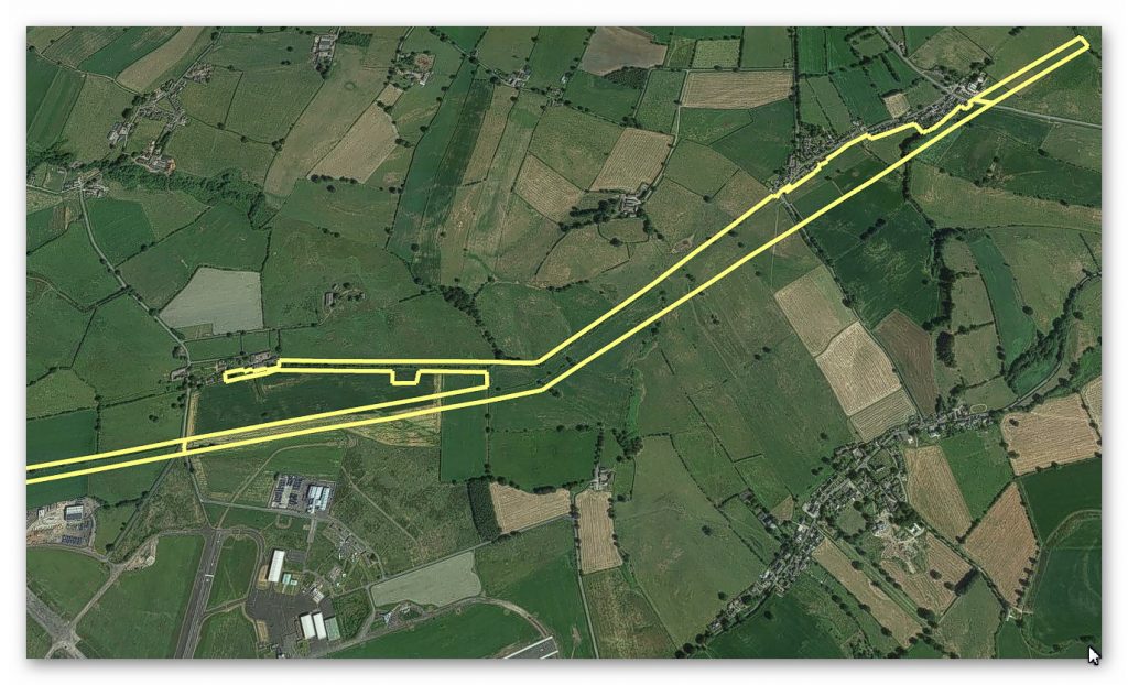
GE Satellite Map
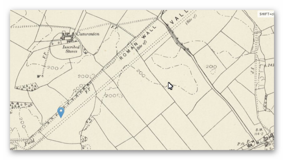
1800s Map
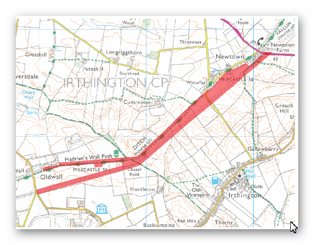
OS Map
LiDAR Map
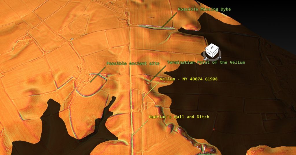
Dyke: NY 49074 61908 (AKA Vellum)
Length (m): 2,554
Orientation: NE – SW
Class Designation*:
Overall Width (m): 36
Ditch Width (m): 10
Bank Width (m): 13
Connectivity**: River/Dyke
Ditch Shape: ?
Volume (cu.m): 33,202 (@ 1.3 depth)
Man hours to complete: 43,163
Estimated Construction Date:
Springs*** (within 200m): 1
Quarries**** (within 200m): 0
(1010988 – Hadrian’s Wall and Vallum from A6071 to The Cottage)
Scheduled Monument Report:
The monument includes the section of Hadrian’s Wall and vallum and their associated features between the A6071 road in the east to The Cottage at Oldwall in the case of the Wall and to the road to Laversdale at Oldwall in the case of the vallum, the road to Laversdale at Oldwall in the west. Hadrian’s Wall survives as a buried feature throughout this section with no upstanding remains. Occasional rises in hedge lines and field walls are the only traces left on the surface. Excavations by Haverfield in 1902 located the course of the Wall to the south west of Newtown where it runs parallel to a modern field boundary.
A geophysical survey in 1981 indicated that masonry still survives in situ on the line of the Wall to the immediate south west of Newtown. It also suggested that there may be traces of the earlier Turf Wall on a slightly different alignment to the Stone Wall. A centurial stone was discovered in this section of the Wall to the south of Cumrenton. Another centurial stone is known to be incorporated into the wall of Cumrenton farmhouse (not included in the scheduling). Between Chapel Field and Oldwall the course of the Wall is overlain by a hedge on top of an earth and stone bank, almost 2.5m wide. The wall ditch survives as an intermittent earthwork visible on the ground throughout this section. In the north east half of this section the ditch survives as a slight depression traceable on the surface. Further to the south west the ditch survives in better condition, averaging 1.6m-1.8m deep. A modern drain runs along the base of the ditch here and a hedge runs along the north edge.
The ditch upcast mound, usually referred to as the glacis, does not survive as a feature visible above ground in this section. Milecastle 58 is situated about 180m south west of Newtown on the north side of a hedge which has traces of a platform below it and contains a large quantity of masonry. The milecastle’s remains survive as buried features below the turf cover. Milecastle 59 is situated about 450m east of Oldwall on almost level ground. It survives as a buried feature with no remains visible above ground. Excavations in 1894 by Haverfield yielded stone foundations and a pottery assemblage. A geophysical survey in 1981 indicated that remains of the south wall still survive in situ, but that this milecastle is slightly to the east of the position depicted by the Ordnance Survey. The exact position of turret 58a has not yet been confirmed as there are no upstanding features visible above ground. However, on the basis of the usual spacing it is expected to be located about 300m east of Cumrenton. The exact position of turret 58b has not been confirmed in recent times. It was apparently located in 1894 by the Society of Antiquities of Newcastle but its precise location was not recorded. On the basis of the usual spacing it is expected to be situated in the field immediately north east of Chapel Field. The exact position of turret 59a has not yet been confirmed as there are no upstanding features visible above ground. On the basis of the usual spacing it is expected to be located immediately east of Oldwall. The exact course of the Roman road known as the Military Way, which ran along the corridor between the Wall and the vallum linking turrets, milecastles and forts, has not been confirmed in this section. It probably lies parallel to the Wall line, but 20m-30m to the south.
Where the Wall line changes course near Chapel Field the Wall and vallum run close together and it is likely that the Military Way occupies the north mound of the vallum. The vallum survives as a buried feature for most of its course in this section with few remains visible on the ground. The ditch is visible as a depression enhanced by a modern drain to the north east of Chapel Field. Around Chapel Field the ditch is visible as a slight depression, averaging 0.5m deep. Elsewhere its remains survive as buried features below the turf cover, with the only visible traces being slight depressions and rises in the hedgelines which cross its course. Excavations in 1902 by Haverfield located the course of the vallum west of Newtown and a section across the vallum ditch was recorded during widening of the road 500m east of Cumrenton farmhouse around 1970. All field boundaries, overhead power supply poles, and road and track surfaces are excluded from the scheduling, but the ground beneath them is included.
(1010988 – Hadrian’s Wall and Vallum from A6071 to The Cottage )
Investigation:
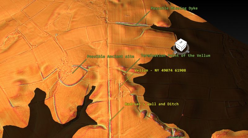
This is one of the termination points of the Vellum. The LiDAR map indicates that the Velum meets a dyke that runs into a prehistoric shoreline.
(1010988 – Hadrian’s Wall and Vallum from A6071 to The Cottage)
References:
https://historicengland.org.uk/listing/the-list/list-entry/1010988
https://prehistoric-britain.co.uk/dyke-construction-hydrology-101
1010988 – Hadrian’s Wall and Vallum from A6071 to The Cottage
