1008275 – Cross Dyke South East of Uplaw Knowe
Scheduled Monument List Entry Ref: 1008275 – Grid Tile: NT90NW – Northumberland
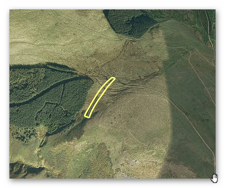
GE Satellite Map
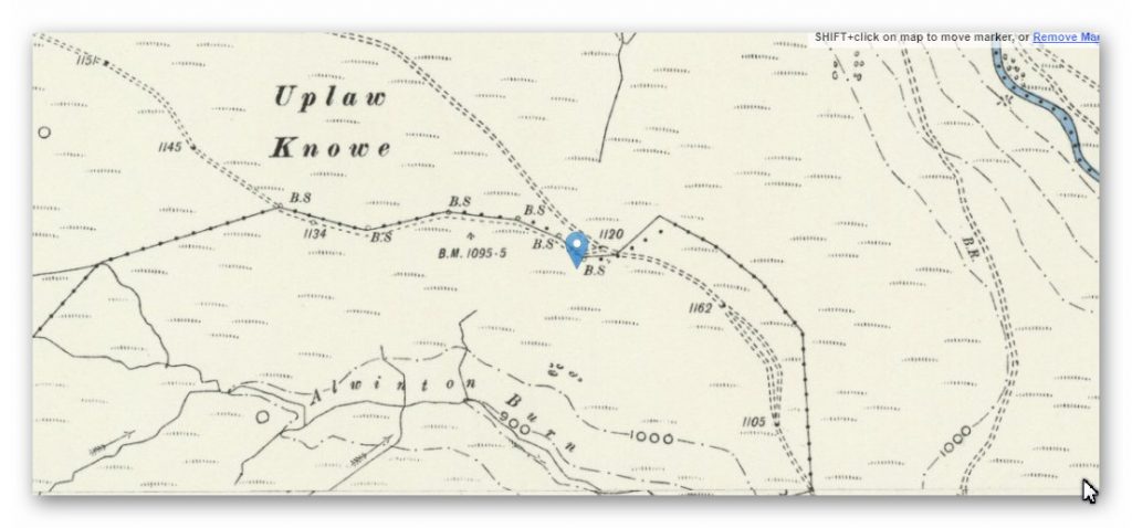
OS Map
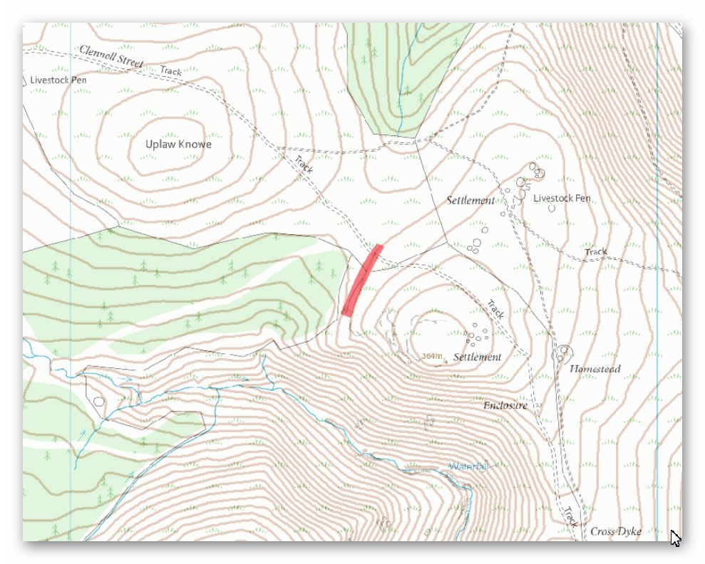
OS Map
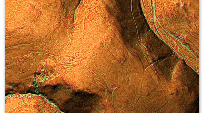
LidAR Map
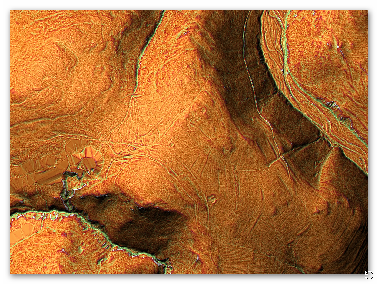
Lidar with Prehistoric water levels
Dyke: NT 91497 08479
Length (m): 293
Orientation: NNE – SSW
Class Designation*:
Overall Width (m): 8
Ditch Width (m): 4
Bank Width (m): 4
Connectivity**: River
Ditch Shape: ?
Volume (cu.m): 1,524 (@ 1.3 depth)
Man hours to complete: 5,079
Estimated Construction Date: ?
Quarries*** (within 200m): 1
Springs****(withing 200m): 0
Dyke: NT 91616 08487 (missing)
Length (m): 668
Orientation: NW – SSE
Class Designation*:
Overall Width (m): 8
Ditch Width (m): 4
Bank Width (m): 4
Connectivity**: River
Ditch Shape: ?
Volume (cu.m): 3,474 (@ 1.3 depth)
Man hours to complete: 11,579
Estimated Construction Date: ?
Quarries*** (within 200m): 3
Springs****(withing 200m): 0
Scheduled Monument Report:
The monument includes the remains of a cross dyke which runs for 130m above a saddle of ground in a north west to south east ridge. It is thought that the monument was once a much longer feature running between steep slopes on either side of the ridge. The dyke comprises an earthen bank 4m-6m wide standing to a maximum height of 1m with a ditch 2.5m wide and 0.5m deep on the south side of the bank. Clennell Street, a medieval drove road, passes through a gap in the cross dyke but its relationship with the monument is uncertain. It is thought that the cross dyke is prehistoric in origin and marks a territorial division which may have been reused during the medieval period. The fence line which crosses the cross dyke from south east to north west is excluded from the scheduling but the ground beneath it is included.
Investigation:
Analysis shows that there maybe another Dyke missing from the Scheduled Monument that joins this Dyke with NT91943 08021 (1008274) in the direction of old quarries.
References:
https://historicengland.org.uk/listing/the-list/list-entry/ 1008275
https://prehistoric-britain.co.uk/dyke-construction-hydrology-101
(1008275 – Cross Dyke South East of Uplaw Knowe)
Further Reading
For information about British Prehistory, visit www.prehistoric-britain.co.uk for the most extensive archaeology blogs and investigations collection, including modern LiDAR reports. This site also includes extracts and articles from the Robert John Langdon Trilogy about Britain in the Prehistoric period, including titles such as The Stonehenge Enigma, Dawn of the Lost Civilisation and the ultimate proof of Post Glacial Flooding and the landscape we see today. . (TSE DVD Introduction)
Robert John Langdon has also created a YouTube web channel with over 100 investigations and video documentaries to support his classic trilogy (Prehistoric Britain). He has also released a collection of strange coincidences that he calls ‘13 Things that Don’t Make Sense in History’ and his recent discovery of a lost Stone Avenue at Avebury in Wiltshire called ‘Silbury Avenue – the Lost Stone Avenue’. (TSE DVD Introduction)
Langdon has also produced a series of ‘shorts’, which are extracts from his main body of books:
For active discussions on the findings of the TRILOGY and recent LiDAR investigations that are published on our WEBSITE, you can join our and leave a message or join the debate on our Facebook Group.
For in-depth information about British Prehistory, we invite you to explore www.prehistoric-britain.co.uk, an extensive resource featuring archaeology blogs and investigations. This collection includes modern LiDAR reports that shed light on ancient landscapes. Additionally, you will find extracts and articles from the Robert John Langdon Trilogy, offering fascinating insights into Britain during the Prehistoric period. Some notable titles from the trilogy include “The Stonehenge Enigma,” “Dawn of the Lost Civilisation,” and groundbreaking evidence of Post Glacial Flooding and its impact on the landscape we see today.
Robert John Langdon has further enriched the exploration of Prehistoric Britain through his YouTube web channel, boasting over 100 investigations and video documentaries that complement his classic trilogy. In addition to his extensive work, Langdon has unveiled a compilation of intriguing coincidences titled “13 Things that Don’t Make Sense in History.” He has also brought to light his recent discovery of a forgotten Stone Avenue in Avebury, Wiltshire, aptly named ‘Silbury Avenue – the Lost Stone Avenue.’
For those who wish to actively engage in discussions about the findings from the TRILOGY and recent LiDAR investigations, we invite you to join our community. You can participate by leaving messages and joining debates on our dedicated Facebook Group. We encourage open dialogue and the exchange of ideas to foster a deeper understanding of Prehistoric Britain and its fascinating mysteries.
As you embark on your journey through British Prehistory, we hope these resources provide valuable insights and inspire further exploration of this captivating field of study.
NB. Recent investigations have indicated the location of hundreds of Quarries and pits built around Wansdyke and how the Dykes were used to transport the minerals transported in these Dykes – see the main site for details of blogs and books on this new discovery.
(1008275 – Cross Dyke South East of Uplaw Knowe)
