LiDAR Mapping Service – Contact Page
We can now offer a LiDAR Mapping Service by supplying 25 sq. km data tiles for a new low cost depending on functionality.
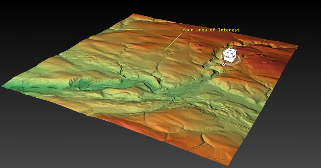
These tiles are from the Government DEFRA survey data – but have been formatted to allow instant viewing (without the need for formatting) and are supplied with a FREE software package, which allows you to change and manipulate the data as shown in our website and video channel on YouTube.

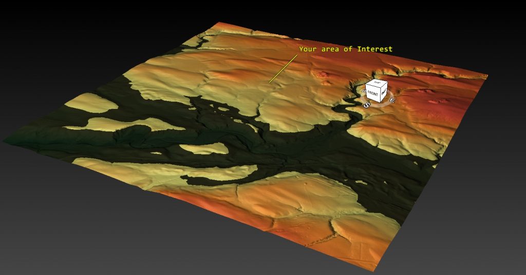
The software allows you ADD and alter the LiDAR data to show you features such as prehistoric water levels.

You can also fly around your interest area and record the images.
You can even track a path across the terrain and fly over and record the flight.
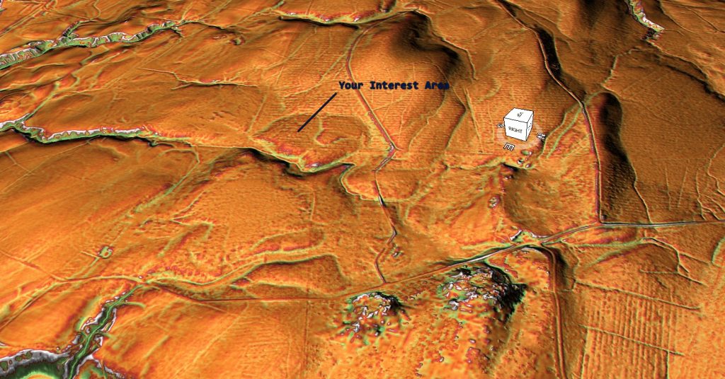
The software package also offers you to increase the contrast of the data – enhancing any surface features.

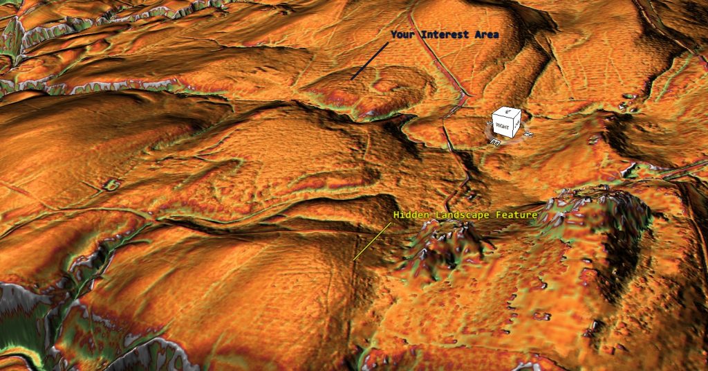
And the scale of the terrain can also be exaggerated to discover HIDDEN FEATURES below the surface.

More examples of these maps are available on the home page of our website or on our video channel – CONTACT US at : sales@prehistoric-britain.co.uk for more details or place an order.
And for those on a budget or want less functionality we can supply a simple HTML version (as shown below) starting from just £29.95 per tile – Use mouse to move the tile and zoom in for detail.
