1003726 – Earthwork 360yds (328m) NW of Warren Copse
Historic England listed monument: 1003726 – LiDAR Tile: ST92SW – Wiltshire
GE Map

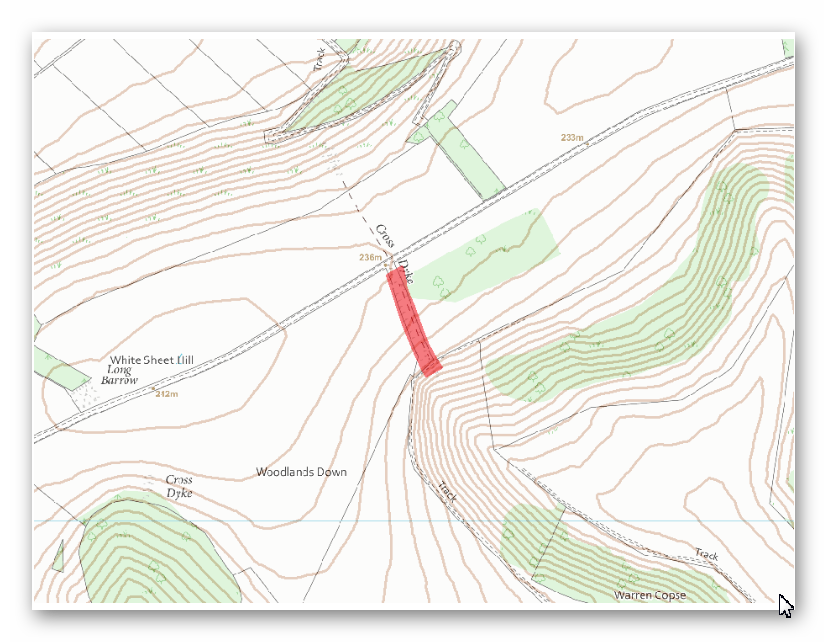
OS Map

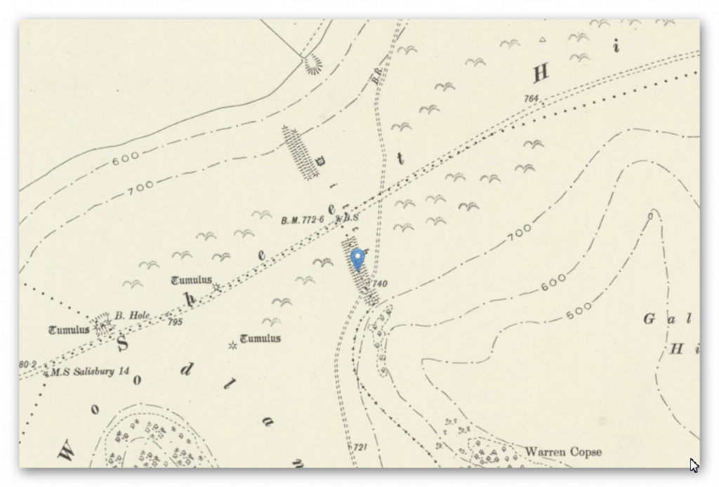
1800 OS Map

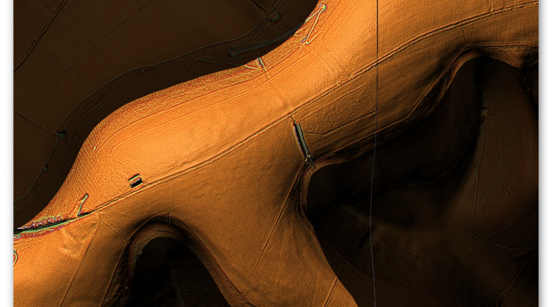
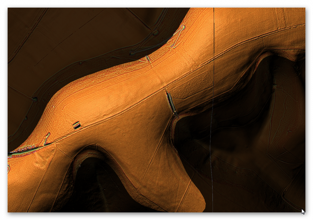
LiDAR Map


ST 94770 24303
Length (m): 328
Orientation: NW – SE
Class Designation*:
Overall Width (m): 23
Ditch Width (m): 13
Bank Width (m): 2 x 4
Connectivity**: Paleochannel
Ditch Shape: ?
Volume (cu.m): 1,419 (@ 1.3 depth)
Man hours to complete: 4,732
Estimated Construction Date: Mesolithic
Number of Quarries*** (within 200m): 0
Number of Springs**** (within 200m): 0
Scheduled Monument Report:
Cranborne Chase is an area of chalkland well known for its high number, density and diversity of archaeological remains. These include a rare combination of Neolithic and Early Bronze Age sites, comprising one of the largest concentrations of burial monuments in England, the largest known cursus (a linear ritual monument) and a significant number and range of henge monuments (Late Neolithic ceremonial centres).
Other important remains include a variety of enclosures, settlements, field systems and linear boundaries which date throughout prehistory and into the Romano-British and medieval periods. This high level of survival of archaeological remains is due largely to the later history of the Chase. Cranborne Chase formed a Royal Hunting Ground from at least Norman times, and much of the archaeological survival within the area resulted from associated laws controlling land-use which applied until 1830. The unique archaeological character of the Chase has attracted much attention over the years, notably during the later 19th century, by the pioneering work on the Chase of General Pitt-Rivers, Sir Richard Colt Hoare and Edward Cunnington, often regarded as the fathers of British archaeology. Archaeological investigations have continued throughout the 20th century and to the present day.
Cross ridge dykes are substantial linear earthworks typically between 0.2km long and 1km long, comprising one or more ditches arranged beside and parallel to one or more banks. They generally occur in upland situations, running across ridges and spurs. They are recognised as earthworks or as cropmarks on aerial photographs, or as a combination of both. The evidence of excavation and analogy with associated monuments demonstrates that their construction spans the millennium from the Middle Bronze Age, although they may have been reused later.
Current information favours the view that they were used as territorial boundary markers, probably demarcating land allotment within communities, although they may also have been used as trackways, cattle droveways or defensive earthworks. Cross ridge dykes occur across Cranborne Chase and are one of the few monument types which illustrate how land was divided up in the prehistoric period. They are of considerable importance for any analysis of settlement and land use in the Bronze Age. Very few examples have survived to the present day nationally and all well-preserved examples are considered to be important. The number of well-preserved examples within Cranborne Chase is particularly notable.
The part of a cross ridge dyke 750m SSE of Horwood Farm Dairy survives well and will contain archaeological and environmental evidence relating to its construction, function, maintenance, longevity, territorial, social, strategic and economic significance, possible re-use and overall landscape context.
Analysis:
Classic ‘Cross-Dyke’ that spanned a paleochannel on both sides of the ridgeway. The width of these Cross-Dykes are interesting as they are much wider than other Dykes – they also look much deeper with twin banks (3m as an estimation from Lidar) clearly needing to dig deep into the surface to find the groundwater levels unlike other Dykes that Can rely on Natural Springs.
(Historic England listed monument: 1003726 – LiDAR Tile: ST92SW)
References:
https://historicengland.org.uk/listing/the-list/list-entry/1003726?section=official-list-entry
https://prehistoric-britain.co.uk/dyke-construction-hydrology-101
Further Reading
For information about British Prehistory, visit www.prehistoric-britain.co.uk for the most extensive archaeology blogs and investigations collection, including modern LiDAR reports. This site also includes extracts and articles from the Robert John Langdon Trilogy about Britain in the Prehistoric period, including titles such as The Stonehenge Enigma, Dawn of the Lost Civilisation and the ultimate proof of Post Glacial Flooding and the landscape we see today. . (TSE DVD Introduction)
Robert John Langdon has also created a YouTube web channel with over 100 investigations and video documentaries to support his classic trilogy (Prehistoric Britain). He has also released a collection of strange coincidences that he calls ‘13 Things that Don’t Make Sense in History’ and his recent discovery of a lost Stone Avenue at Avebury in Wiltshire called ‘Silbury Avenue – the Lost Stone Avenue’. (TSE DVD Introduction)
Langdon has also produced a series of ‘shorts’, which are extracts from his main body of books:
For active discussions on the findings of the TRILOGY and recent LiDAR investigations that are published on our WEBSITE, you can join our and leave a message or join the debate on our Facebook Group.
(Historic England listed monument: 1003726 – LiDAR Tile: ST92SW)
