1016860 – Scot’s Dike
Scheduled Monument List Entry Ref: 1016860 – Grid Tile: NY37SE – Cumbria
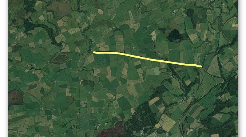
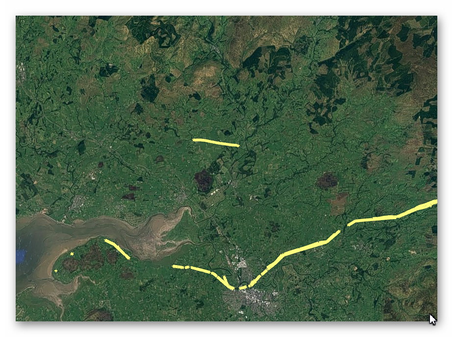
GE Satellite Map
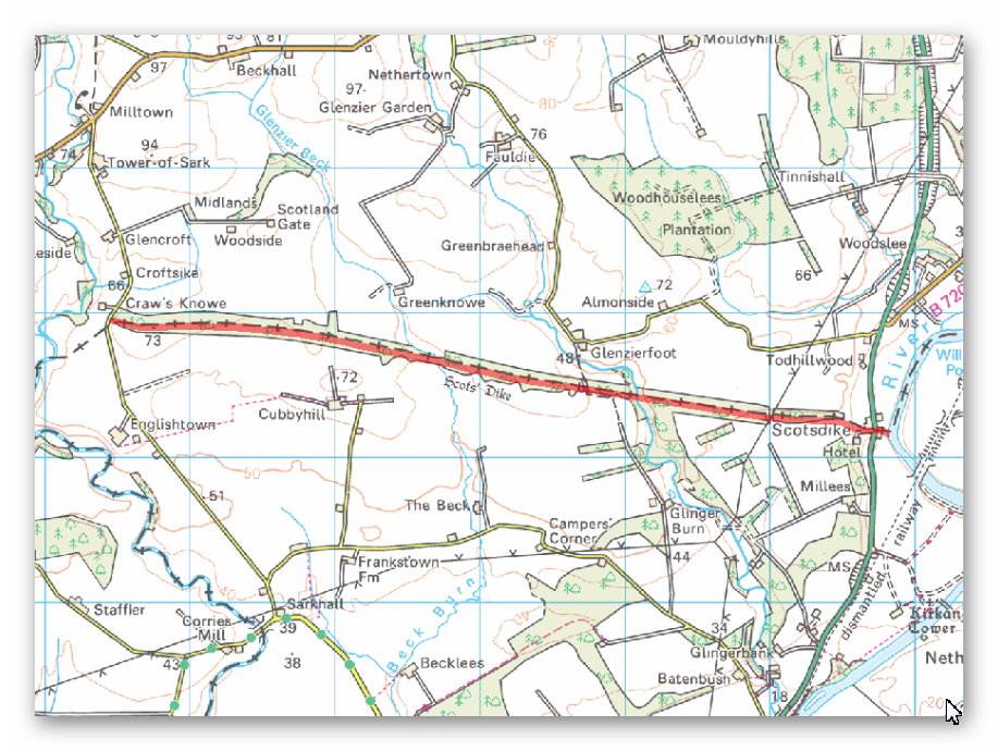
OS Map
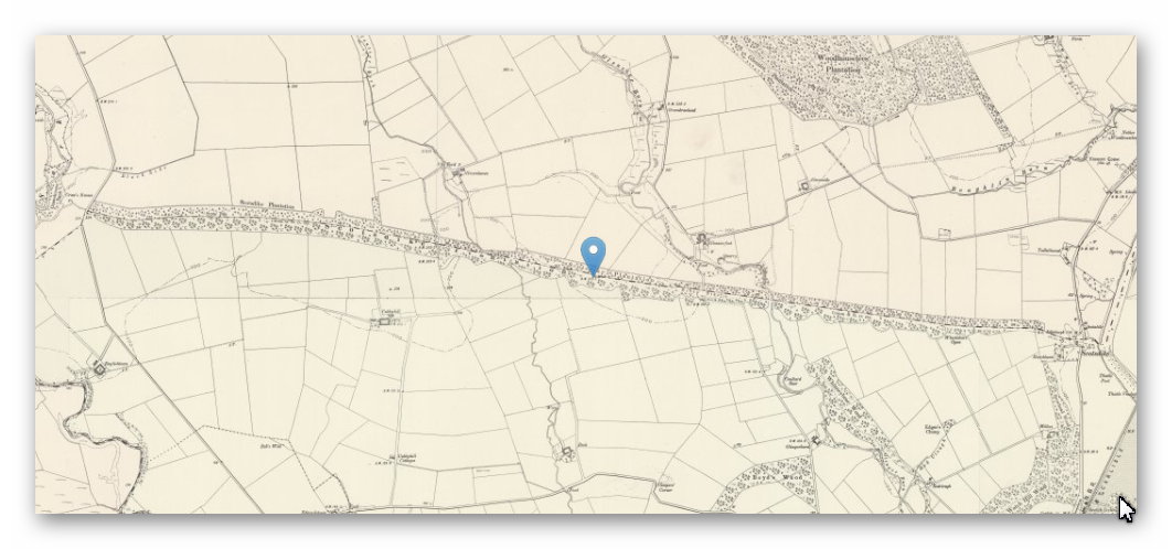
1800s Map
LiDAR Map
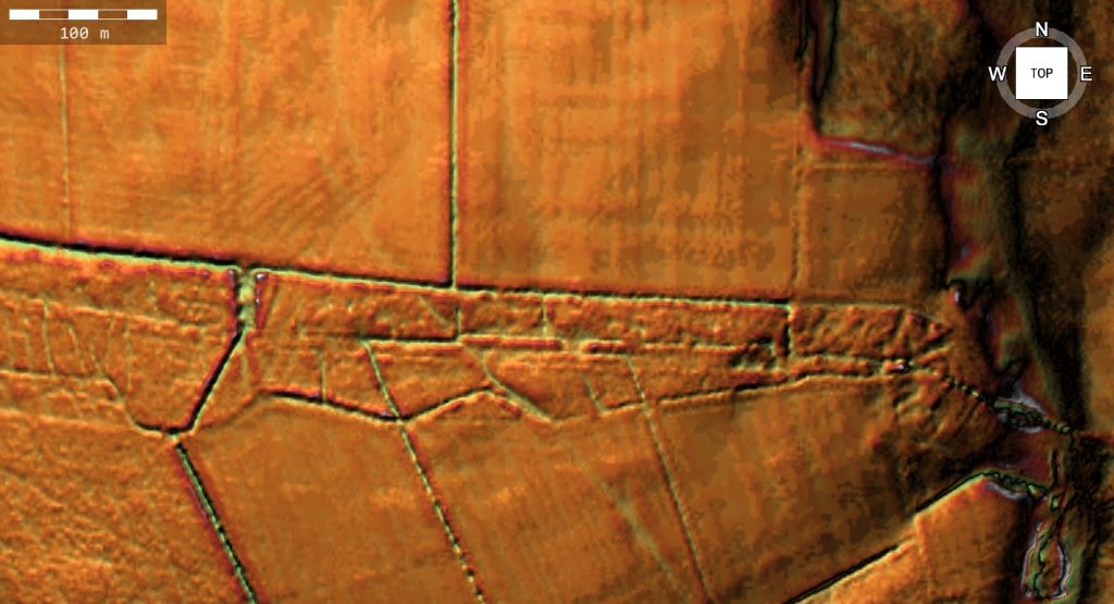
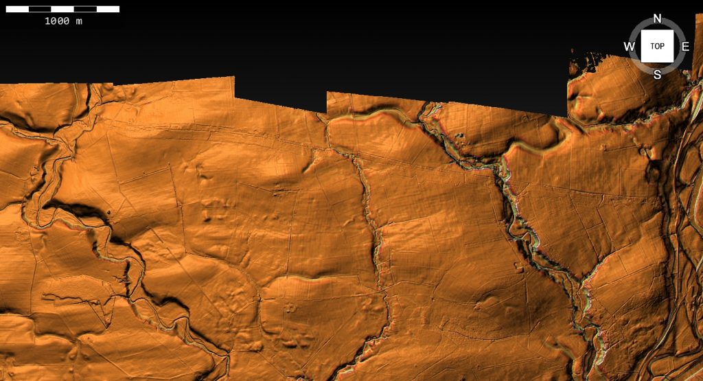
Dyke: NY 36136 73566
Length (m): 5,583
Orientation: W – E
Class Designation*:
Overall Width (m): 43
Ditch Width (m): 6 (x2)
Bank Width (m): 31
Connectivity**: River
Ditch Shape: ?
Volume (cu.m): 85,534 (@ 1.3 depth)
Man hours to complete: 285,116
Estimated Construction Date: ?
Springs*** (within 200m): 2
Quarries**** (within 200m): 1
Scheduled Monument Report:
TThe monument includes the earthworks and buried remains of Scots’ Dike, a 16th century linear earthwork consisting of banks and ditches, which was constructed to demarcate the border between England and Scotland. The scheduling includes only the earthworks lying to the south of the border. The remains of the dike on the northern side are protected separately under historic monuments legislation for Scotland. The dike originally ran for approximately 5.6km between the rivers Sark and Esk across a tract of land known as the Debateable Land, an area of the borders recognised as one of the most lawless parts of Great Britain for many centuries on account of the constant claims, counterclaims and warfare of its inhabitants. In 1552 Commissioners appointed by Mary, Queen of Scots, and Edward VI met `and agreed on a line to be marked by a ditch and marchstones, the ground to one side whereof was thenceforth to belong to England, and that on the other to belong to Scotland.’ This is the only section of the border to be marked by a linear earthwork. Generally speaking, two parallel trenches were dug and the excavated material thrown into the centre to make a mound thought to have been 1.8m-2.4m high. At some places the mound was doubled with a space of about 9m between the mounds. The original plan called for the erection of a square stone at either end of the dike, with the Arms of England on one face and the Arms of Scotland on another; however, it is not known if these stones were ever erected. No surface remains of Scots’ Dike survive west of the minor road at Craw’s Knowe some 0.2km east of the River Sark. From this point the dike runs eastwards for some 5.4km to the River Esk in varying states of preservation, surviving best as a mound up to 1.3m high and 3.5m wide and flanked either side by ditches. In places earthwork remains of a ditch survive on the north side of the mound only, elsewhere on the south side only. Traces of the double mound are few and elsewhere little surface evidence of mounds is discernible, the course of the monument being represented mainly as a ditch of varying depth and width. At irregular intervals stones have been set up on top of the mound. These are of red sandstone, stand approximately 0.7m high, and are thought to be 19th century replacements for original boundary markers which have been removed. A number of features are excluded from the scheduling; these are all fence posts, gateposts and telegraph poles, the A7 trunk road, Marchbank Cottage, Border Cottage, Orchard View and its stable, and all outbuildings, paths, flagged, tarmaced and gravelled surfaces associated with these three dwellings; the ground beneath all these features is, however, included.
Investigation:
A perfect example of NOT a BORDER and POLITICAL EARTHWORK – this dyke gones from stream to another stream that would have been much larger in the past and travels via a quarry on a third paleochannel in the centre.
References:
https://historicengland.org.uk/listing/the-list/list-entry/1016860
https://prehistoric-britain.co.uk/dyke-construction-hydrology-101
Further Reading
For information about British Prehistory, visit www.prehistoric-britain.co.uk for the most extensive archaeology blogs and investigations collection, including modern LiDAR reports. This site also includes extracts and articles from the Robert John Langdon Trilogy about Britain in the Prehistoric period, including titles such as The Stonehenge Enigma, Dawn of the Lost Civilisation and the ultimate proof of Post Glacial Flooding and the landscape we see today. . (TSE DVD Introduction)
Robert John Langdon has also created a YouTube web channel with over 100 investigations and video documentaries to support his classic trilogy (Prehistoric Britain). He has also released a collection of strange coincidences that he calls ‘13 Things that Don’t Make Sense in History’ and his recent discovery of a lost Stone Avenue at Avebury in Wiltshire called ‘Silbury Avenue – the Lost Stone Avenue’. (TSE DVD Introduction)
Langdon has also produced a series of ‘shorts’, which are extracts from his main body of books:
For active discussions on the findings of the TRILOGY and recent LiDAR investigations that are published on our WEBSITE, you can join our and leave a message or join the debate on our Facebook Group.
For in-depth information about British Prehistory, we invite you to explore www.prehistoric-britain.co.uk, an extensive resource featuring archaeology blogs and investigations. This collection includes modern LiDAR reports that shed light on ancient landscapes. Additionally, you will find extracts and articles from the Robert John Langdon Trilogy, offering fascinating insights into Britain during the Prehistoric period. Some notable titles from the trilogy include “The Stonehenge Enigma,” “Dawn of the Lost Civilisation,” and groundbreaking evidence of Post Glacial Flooding and its impact on the landscape we see today.
Robert John Langdon has further enriched the exploration of Prehistoric Britain through his YouTube web channel, boasting over 100 investigations and video documentaries that complement his classic trilogy. In addition to his extensive work, Langdon has unveiled a compilation of intriguing coincidences titled “13 Things that Don’t Make Sense in History.” He has also brought to light his recent discovery of a forgotten Stone Avenue in Avebury, Wiltshire, aptly named ‘Silbury Avenue – the Lost Stone Avenue.’
For those who wish to actively engage in discussions about the findings from the TRILOGY and recent LiDAR investigations, we invite you to join our community. You can participate by leaving messages and joining debates on our dedicated Facebook Group. We encourage open dialogue and the exchange of ideas to foster a deeper understanding of Prehistoric Britain and its fascinating mysteries.
As you embark on your journey through British Prehistory, we hope these resources provide valuable insights and inspire further exploration of this captivating field of study.
NB. Recent investigations have indicated the location of hundreds of Quarries and pits built around Wansdyke and how the Dykes were used to transport the minerals transported in these Dykes – see the main site for details of blogs and books on this new discovery.
