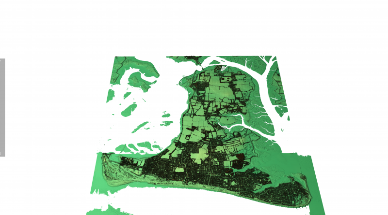
Hayling Island Lidar Maps
This is a new interactive 3D Hayling Island LiDAR Map survey with full mouse control of view angle and zoom features.
We are able to offer LiDAR maps of any area of the UK for just £19.95 per data tile. These 25 sq. km tiles (as used on this website) are fully formatted and ready to publish or view using the FREE 3D viewing software provided worth over £100. All we need is the coordinates of the area you require and we will send you the Data tile that covers that area – for more information, click HERE or on the LiDAR picture above. (Hayling Island Lidar Maps)
For more information about British Prehistory and other articles/books, go to our BLOG WEBSITE for daily updates or our VIDEO CHANNEL for interactive media and documentaries. The TRILOGY of books that ‘changed history’ can be found with chapter extracts at DAWN OF THE LOST CIVILISATION, THE STONEHENGE ENIGMA and THE POST-GLACIAL FLOODING HYPOTHESIS. Other associated books are also available such as 13 THINGS THAT DON’T MAKE SENSE IN HISTORY and other ‘short’ budget priced books can be found on our AUTHOR SITE. For active discussion on the findings of the TRILOGY and recent LiDAR investigations that is published on our WEBSITE you can join our FACEBOOK GROUP.
Use mouse and Left hand click to PAN – Mouse and RIGHT hand Click to move UP and Down – and Wheel to zoom in the 3D Image BELOW! Its 125Mb file so may take a minute to download…. please be patient!

