Prehistoric Canals – Wansdyke
Promotional Video – Prehistoric Canals – Wansdyke
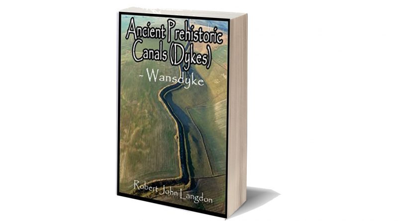
Extract From Book……………………… Ancient Prehistoric Canals (Dykes) – Wansdyke
The INTRODUCTION (Prehistoric Canals – Wansdyke)
Wansdyke has always captured the imagination of the general public as it is a substantial prominent structure in the Wiltshire landscape relatively close to another famous ancient site Avebury, which also has massive ditches like Wansdyke and therefore, one might suggest there is a direct relationship between the two.
This apparent connection has not occurred to past or present archaeologists who sought to find a simple meaning for this unique ‘linear structure’ and hence the conclusion that it was built to defend warlike invaders of the past and hence a ‘Saxon’ name was adopted as historians of the past believed that these ‘tribes’ had large armed forces that could cope with such grand engineering undertakings as it was to defend their land.
Over the last few decades, this ‘fact’ (which was also shared by an even more immense ‘Dyke’ also named after a Saxon ‘Offa’) has been revisited and found that this continuous defence ditch is far less continuous than previously believed and a new theory developed for these earthworks as ‘Boarder Markers’ in the landscape – as they have never been a single body found with battle wounds in all 22 miles of Wansdyke or the 177 mile Offa’s Dyke which would support the defence hypothesis.
Sadly, even with this new ‘reassuring’ suggestion for these extensive sites, archaeologists have failed to address the facts that Dykes are incomplete and not continuous (Offa has 40% missing and Wansdyke has 20% missing) and there beginning and end points just ‘appear’ without reason in the landscape ‘like magic’ with no one able to tell you why.
Moreover, if these ‘Boundary Markers’ taking years if not decades to build were demarcation points for land ownership, then why do some Dykes (like Offa) track much larger separation points like major rivers that would have been a far more apparent marker than a 4m ditch and a known and well used territorial boundary marker still used today.
Furthermore, archaeologists have ignored that there are over 1500+ scheduled Dykes in Britain (including Ireland), of which 90% could not be used for this function as some of these ‘boundary markers’ are found on uninhabited islands dotted around the entire circumference of Britain.
Robert John Langdon (2022 -Prehistoric Canals – Wansdyke)
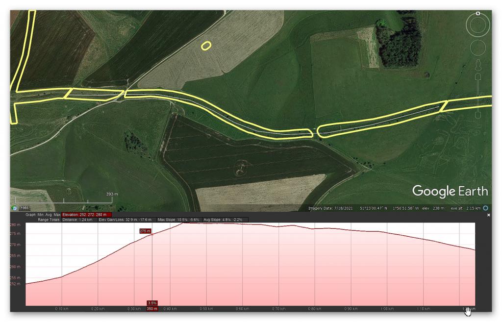
Section 3 – HE:1004736 from Eastern side of Tan Hill to South of Furze Hill 1,247 metres (3,741 working days – 20 men, 187 days)
No, Historic Details or Excavations are Registered on HE.
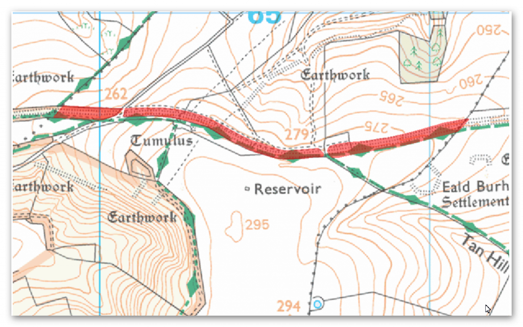
OS Map
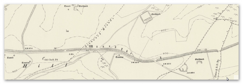
1800 Map
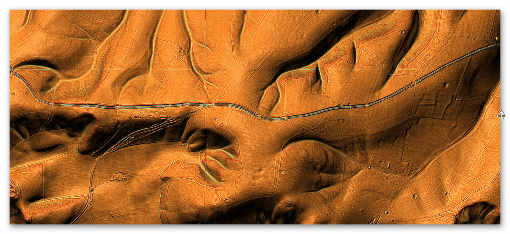
LiDAR Map
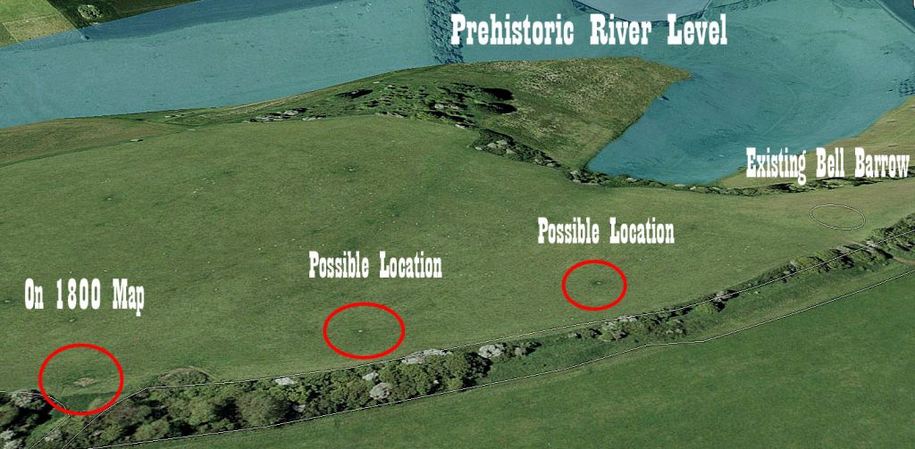
LiDAR Map (with Mesolithic water levels)
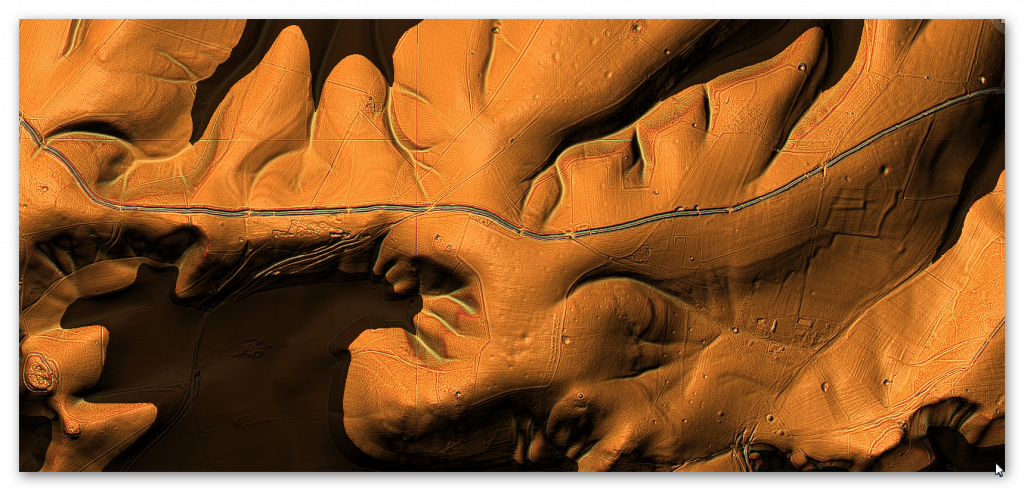
Round Barrows
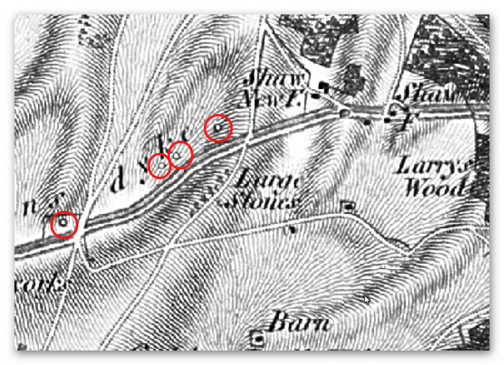
Amazingly, along a strip between New Shaw Farm and Red Shore we find a series of barrows – of which only one still exists.
The monument includes a bell barrow set below the crest of a steep north-east facing slope in an area of undulating chalk downland. The barrow mound stands to a height of 0.5m and is 20m in diameter. The surface of the mound comprises large flint nodules, and some worked flint. Surrounding the mound is a ditch from which the mound material was quarried. Although this has been infilled over the years and is no longer visible on the ground, it survives as a buried feature c.3m wide. Partial excavation of the barrow mound in 1970 produced cereal pollen grains suggesting early cultivation of the area. – Historic England
The OS map of the 1800s shows this bell barrow as the last of the four nearest the Farm – the other three have been ploughed out over time. What is of significant importance is the fact that Wansdyke and the barrows follow the same path, which gives us a chicken and egg scenario – what came first?
According to the ‘experts’ as these barrows are prehistoric in date, did the builders of the Dyke decide to cut this ditch by their side for reasons unknown? Or is it more likely that the ditch existed first and the barrows were constructed after the completion of the works?
If we look at the satellite map – during the dry season, do we get a glimpse of these features still on the ground? (Fig.59)
This was an extracts from the NEW Book Ancient Prehistoric Canals (Dykes) – Wansdyke available on Amazon as a FULL COLOUR HARD BACK (£19.95) or a ECONOMY (£4.99) SOFTBACK black and white VERSION – it is also available as a KINDLE (£1.99) book. For further information about our work on Prehistoric Britain visit our WEBSITE or VIDEO CHANNEL.
Product details
- ASIN : B0BF31GQKC
- Publisher : Independently published (18 Sept. 2022)
- Language : English
- Hardcover : 134 pages
- ISBN-13 : 979-8353488897
- Dimensions : 15.24 x 1.3 x 22.86 cm
- Illustrations: 85
- Customer reviews: 5.0 out of 5 stars 1 rating
For more information about British Prehistory and other articles/books, go to our BLOG WEBSITE for daily updates or our VIDEO CHANNEL for interactive media and documentaries. The TRILOGY of books that ‘changed history’ can be found with chapter extracts at DAWN OF THE LOST CIVILISATION, THE STONEHENGE ENIGMA and THE POST-GLACIAL FLOODING HYPOTHESIS. Other associated books are also available such as 13 THINGS THAT DON’T MAKE SENSE IN HISTORY and other ‘short’ budget priced books can be found on our AUTHOR SITE or on our PRESS RELEASE PAGE. For active discussion on the findings of the TRILOGY and recent LiDAR investigations that is published on our WEBSITE you can join our FACEBOOK GROUP.


Pingback: The Great Stone Transportation Hoax - Prehistoric Britain