Section V – NZ26NE & NZ26SE
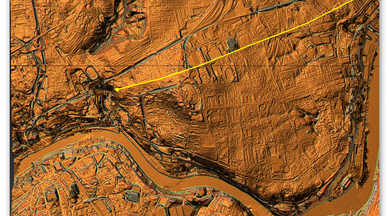
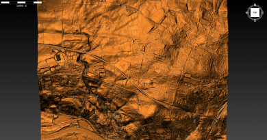
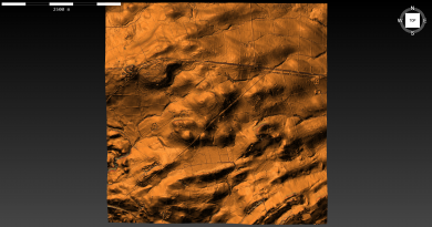
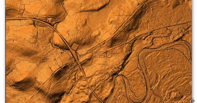
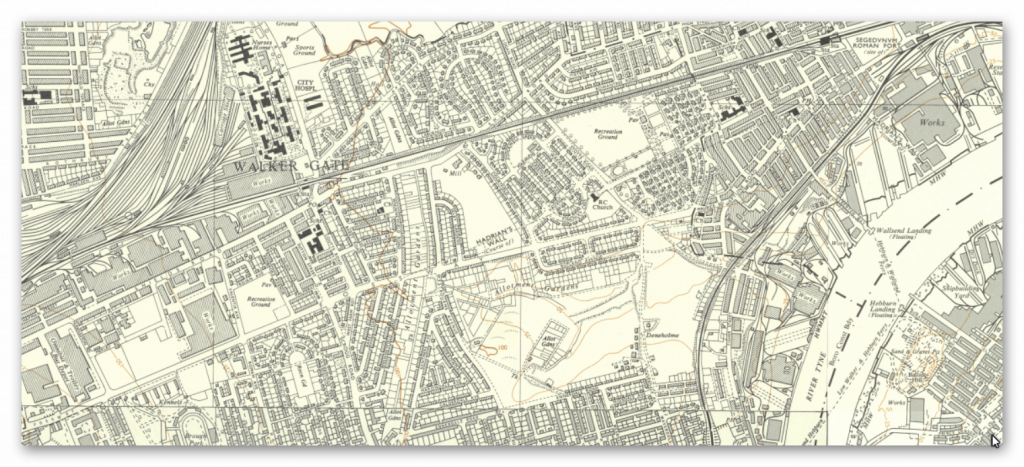
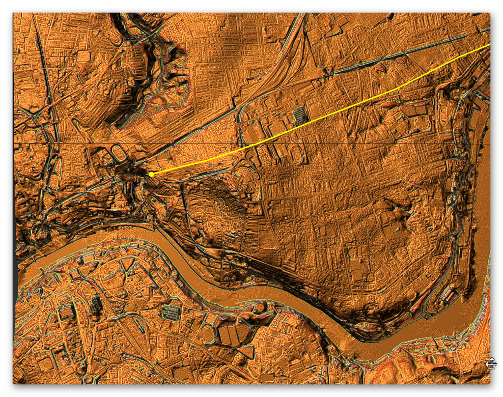
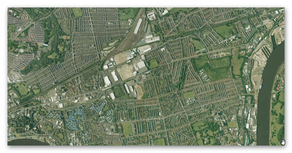
Section V – NZ26NE & NZ26SE – this is a section of Hadrian’s Wall showing the LiDAR, Google Earth and 1800 Maps of the Area covered by Historic England
Historic England Sections:
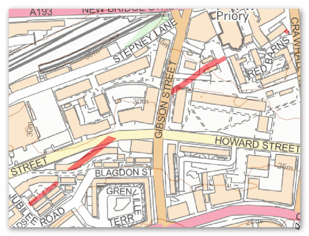
Name: Name: Hadrian’s Wall in wall mile 0, Wallsend Roman fort, Segedunum to wall mile 4, sections of wall between Crawhall Road and Jubilee Road
List UID: 1003512, 1003508, 1003511, 1003510, 1003507, 1005914
Name: Hadrian’s Wall in
Designation Type: Scheduling
Grade: Not Applicable to this List Entry
List UID: 1003512
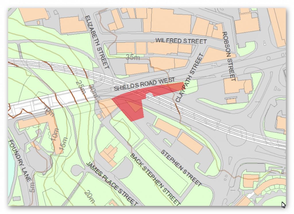
Name: Hadrian’s Wall in wall mile 2, Byker section of Hadrian’s Wall and presumed site of milecastle 3 at Shields Road West
Designation Type: Scheduling
Grade: Not Applicable to this List Entry
List UID: 1003508
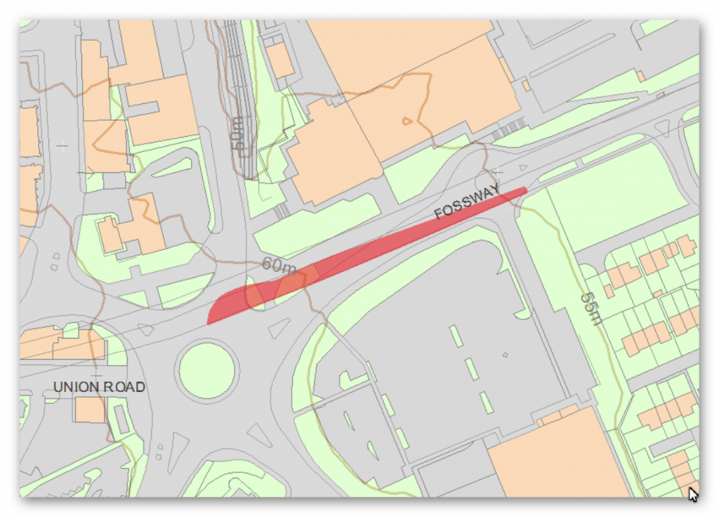
Name: Hadrian’s Wall in wall mile 2, Walker section of Hadrian’s Wall near the junction of Fossway and Shields Road
Designation Type: Scheduling
Grade: Not Applicable to this List Entry
List UID: 1003511
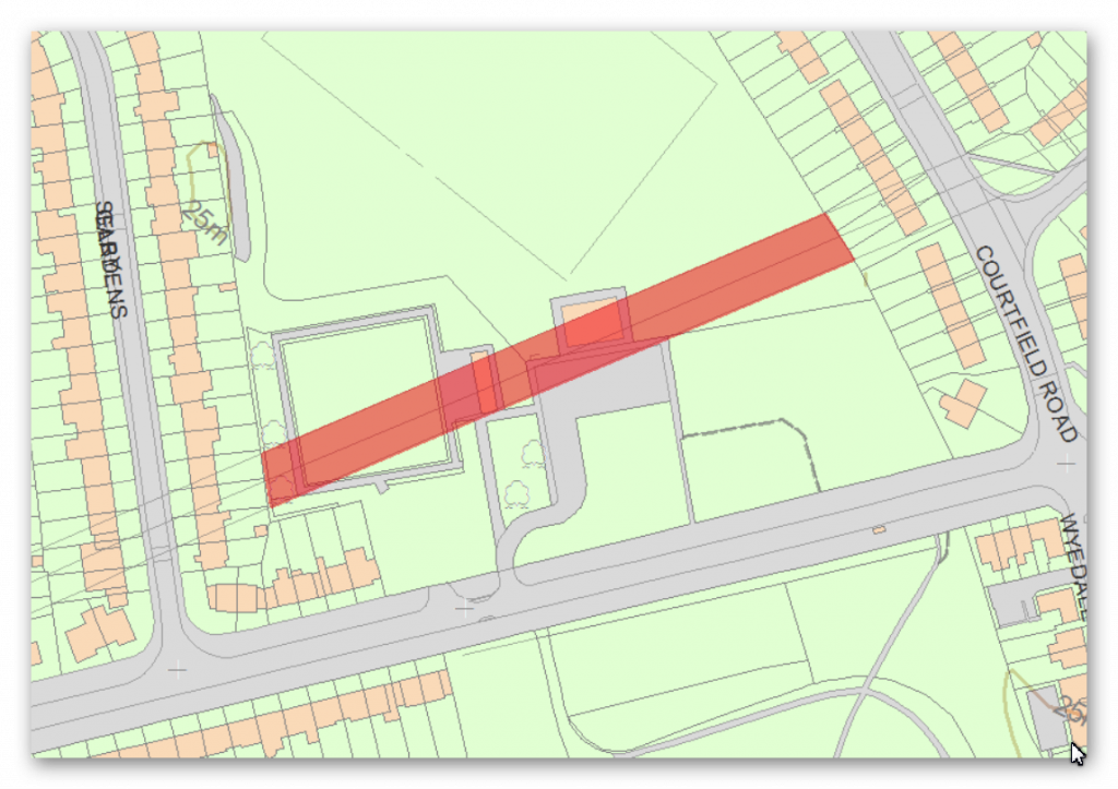
Name: Hadrian’s Wall in wall mile 2, Walker section of Hadrian’s Wall 171m long across Millers Dene playing field
Designation Type: Scheduling
Grade: Not Applicable to this List Entry
List UID: 1003510
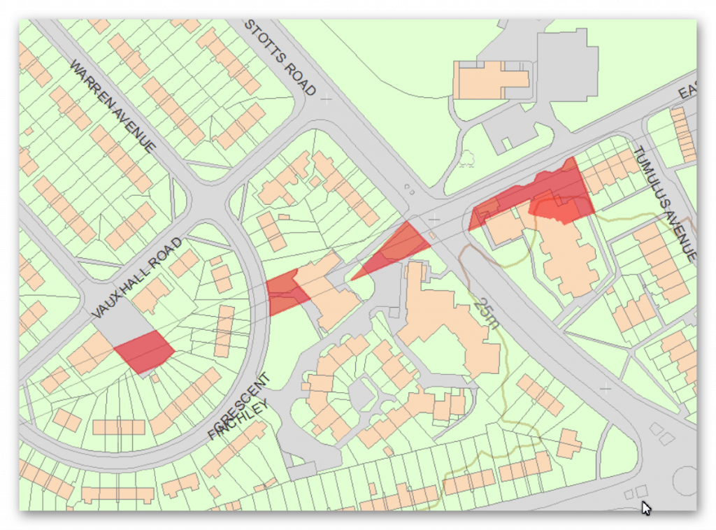
Name: Hadrian’s Wall in wall mile 1, three sections between Stotts Road and Vauxhall Road
Designation Type: Scheduling
Grade: Not Applicable to this List Entry
List UID: 1003507
Name: Hadrian’s Wall in wall mile 0, Wallsend Roman fort, Segedunum
Designation Type: Scheduling
Grade: Not Applicable to this List Entry
List UID: 1005914
Old OS Map
LiDAR Map
Google Earth Map
Historic England Scheduled Monuments within Section V
Name: Hadrian’s Wall in wall mile 4, sections of wall between Crawhall Road and Jubilee Road
Designation Type: Scheduling
Grade: Not Applicable to this List Entry
List UID: 1003512
Name: Hadrian’s Wall in wall mile 2, Byker section of Hadrian’s Wall and presumed site of milecastle 3 at Shields Road West
Designation Type: Scheduling
Grade: Not Applicable to this List Entry
List UID: 1003508
Name: Hadrian’s Wall in wall mile 2, Walker section of Hadrian’s Wall near the junction of Fossway and Shields Road
Designation Type: Scheduling
Grade: Not Applicable to this List Entry
List UID: 1003511
Name: Hadrian’s Wall in wall mile 2, Walker section of Hadrian’s Wall 171m long across Millers Dene playing field
Designation Type: Scheduling
Grade: Not Applicable to this List Entry
List UID: 1003510
Name: Hadrian’s Wall in wall mile 1, three sections between Stotts Road and Vauxhall Road
Designation Type: Scheduling
Grade: Not Applicable to this List Entry
List UID: 1003507
Name: Hadrian’s Wall in wall mile 0, Wallsend Roman fort, Segedunum
Designation Type: Scheduling
Grade: Not Applicable to this List Entry
List UID: 1005914
There is no HE entry for this section.
There is no HE entry for this section.
There is no HE entry for this section.
There is no HE entry for this section.
There is no HE entry for this section.
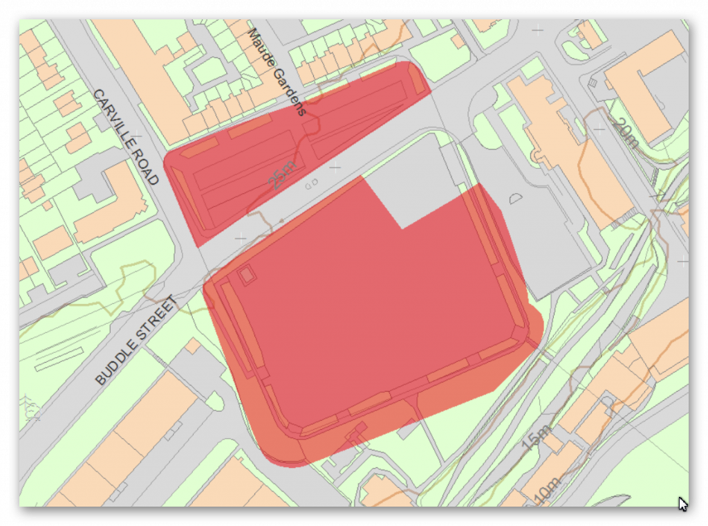
There is no HE entry for this section.
Investigation
The Vallum does not exist in this section.
Further Reading
For information about British Prehistory, visit www.prehistoric-britain.co.uk for the most extensive archaeology blogs and investigations collection, including modern LiDAR reports. This site also includes extracts and articles from the Robert John Langdon Trilogy about Britain in the Prehistoric period, including titles such as The Stonehenge Enigma, Dawn of the Lost Civilisation and the ultimate proof of Post Glacial Flooding and the landscape we see today.
Robert John Langdon has also created a YouTube web channel with over 100 investigations and video documentaries to support his classic trilogy (Prehistoric Britain). He has also released a collection of strange coincidences that he calls ‘13 Things that Don’t Make Sense in History’ and his recent discovery of a lost Stone Avenue at Avebury in Wiltshire called ‘Silbury Avenue – the Lost Stone Avenue’.
Langdon has also produced a series of ‘shorts’, which are extracts from his main body of books:
For active discussions on the findings of the TRILOGY and recent LiDAR investigations that are published on our WEBSITE, you can join our and leave a message or join the debate on our Facebook Group.

