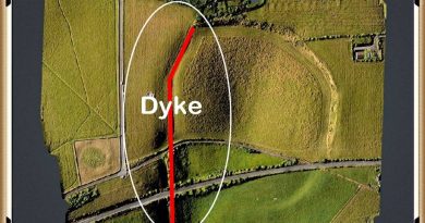
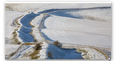
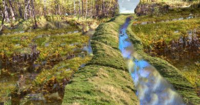
Avebury’s great mystery revealed
Now everyone knows that Stonehenge, Avebury and Old Sarum were cut out of the hard chalk with antler picks – or do we? For if the archaeologists are right, the entire site must be littered with the broken remains of these objects – but there not! Half of Stonehenge has been fully excavated and found just 82 pieces probably from about 50 full antlers. (Avebury’s great mystery revealed).
At Avebury even less have been found – either antlers are the most formidable natural tools in the world or what we see are the remnants of tools used after the construction for alterations or to clean out (not cut) the ditches. Mike Parker-Pearson found strange cut marks in the bottom of a ditch at Durrington in 2008. These cut marks were so thin that they could only be made by a metal blade, like a bronze or copper axe. The only problem is that according to traditional archaeology – Bronze technology is not available during this period history – unless, of course, the accepted Victorian dating periods are fundamentally wrong, and metals were used long ago.
More recent discoveries now indicate that the peoples of Europe had Bronze as early as 4600 BCE in Bulgaria found in a Gold and Bronze grave – so there is no good reason to believe that the builders of Stonehenge did not have Bronze or copper axes to cut the chalk, towards the end of the Mesolithic period as they would be trading with these places in Europe using their boats.
Moreover, the cross-section drawing of Avebury drawn in 1914 by St George Grey shows that our ancestors took great care to make sure the bottom was flat – the question is why?
If it’s a ceremonial ditch (as some archaeologists suggest) why flat and so deep, indeed would not a small easy to cut v- ditch would suffice and be less time-consuming?

| Figure 70- Harold St. George Grey, with his sketch of the excavation showing the large flat bottom and his evidence on the bank that it was built in stages (Avebury’s great mystery revealed) |
Moreover, the excavation serves us with the ‘smoking gun’ of evidence we have been seeking. Because as St. George Grey’s men dug, following the ancient ditches cut deep in the soil they had to stop working, as the workman had hit the water table level and the ditch started to flood.
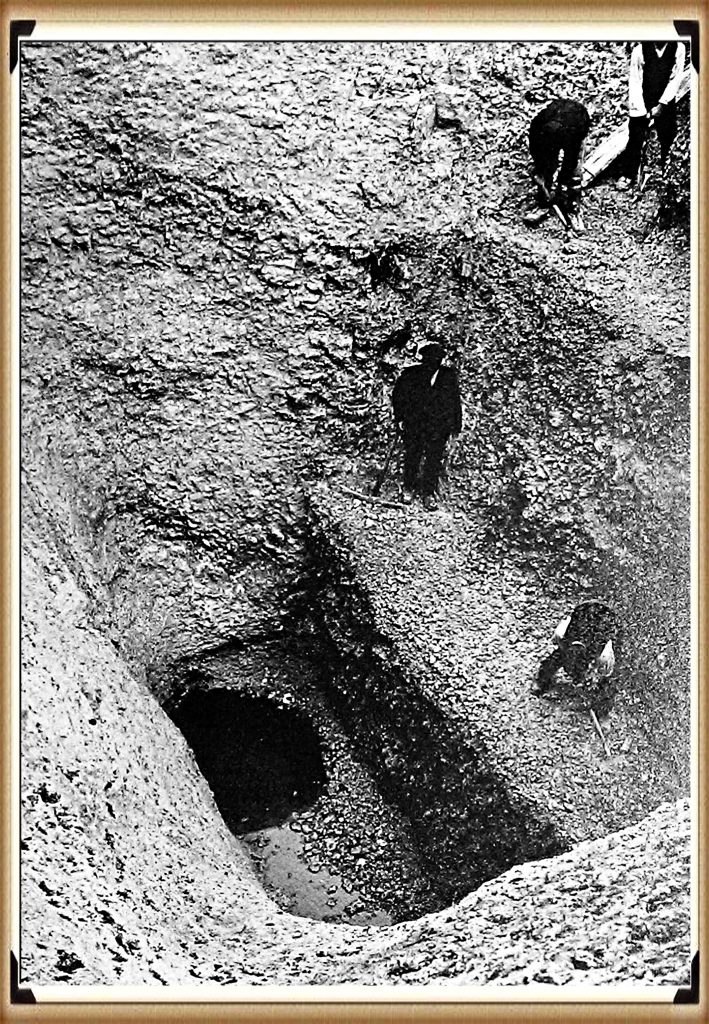
| Figure 71- The ‘Smoking gun’ water found at the bottom of the ditch – even today (Avebury’s great mystery revealed) |
Now, this is in Summer 1914, and they have reached the water table level. We know in winter the water table would be higher and more importantly, we have shown in previous chapters that the water tables were higher in the past than today. This proves that when this ditch was originally dug, it filled with water turning it into a moat.
Furthermore, the question that needs to be answered is ‘why a flat bottom moat’ as you are not going to see it when it is full of water. The simple answer is the same reason that we today dredge rivers and boat canals – to remove the silting.
Natural silting over time will create a round bottom to the moat. If you make the bottom flat, it will take longer to silt up than if it was round, prolonging its use or for the need to remove the silt. Is this what we are finding in the ‘fill’ of these ditches, and the tools used to keep the moat clean and free from weeds, would be the Antler picks and cow shoulder blades found in excavations in small quantities.
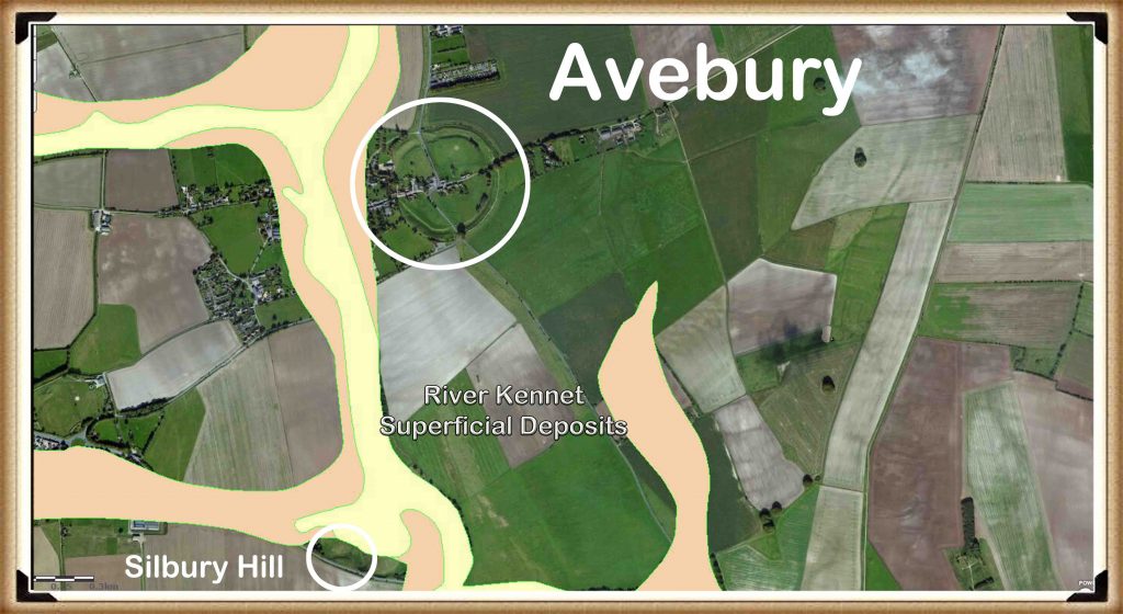
Eventually, when Avebury lost all of its groundwater, our ancestors built Silbury Hill as the new landing site to the complex. Silbury Hill is the largest human-made island in Europe and was set at the end of the Neolithic waterway. Composed mainly of chalk and clay excavated from the surrounding area, the mound stands 40 metres (130 ft) high and covers about 5 acres. As we have already seen, it would have taken 18 million-man hours to deposit and shape this vast pile of chalk and earth on top of the natural hill that forms Silbury’s foundation. The base of the hill is circular, 167 metres (548 ft) in diameter. The summit is most importantly, flat-topped and 30m (98ft) in diameter.
Articles on this Trilogy and an Active FaceBook Group where you can leave comments and get feedback can be found at:
Articles: https://prehistoric-britain.co.uk/
FaceBook Group: https://www.facebook.com/groups/prehistoricbritain
Further Reading
For information about British Prehistory, visit www.prehistoric-britain.co.uk for the most extensive archaeology blogs and investigations collection, including modern LiDAR reports. This site also includes extracts and articles from the Robert John Langdon Trilogy about Britain in the Prehistoric period, including titles such as The Stonehenge Enigma, Dawn of the Lost Civilisation and the ultimate proof of Post Glacial Flooding and the landscape we see today.
Robert John Langdon has also created a YouTube web channel with over 100 investigations and video documentaries to support his classic trilogy (Prehistoric Britain). He has also released a collection of strange coincidences that he calls ‘13 Things that Don’t Make Sense in History’ and his recent discovery of a lost Stone Avenue at Avebury in Wiltshire called ‘Silbury Avenue – the Lost Stone Avenue’.
Langdon has also produced a series of ‘shorts’, which are extracts from his main body of books:
For active discussions on the findings of the TRILOGY and recent LiDAR investigations that are published on our WEBSITE, you can join our and leave a message or join the debate on our Facebook Group.


