Section T – NZ16NE
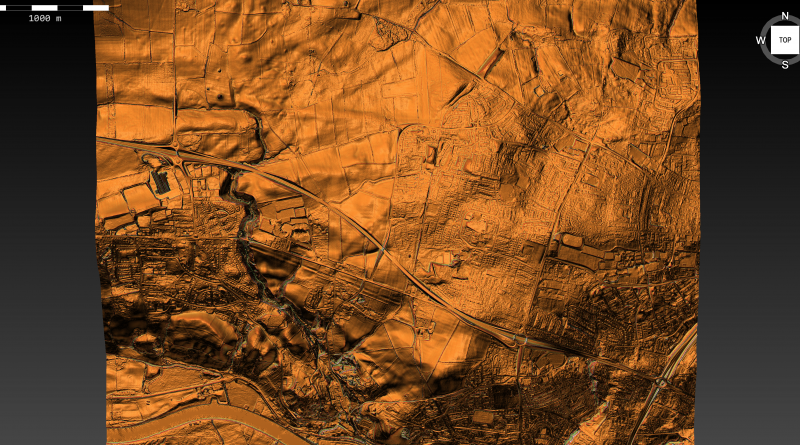
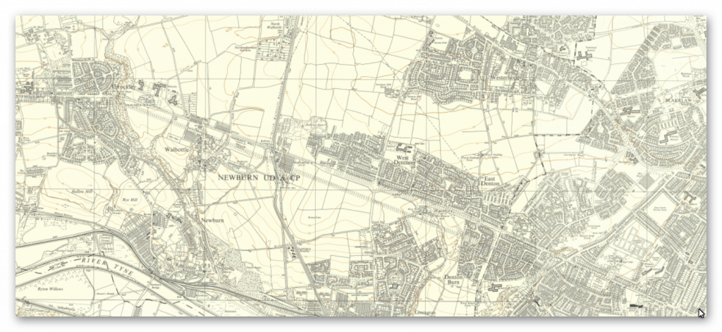
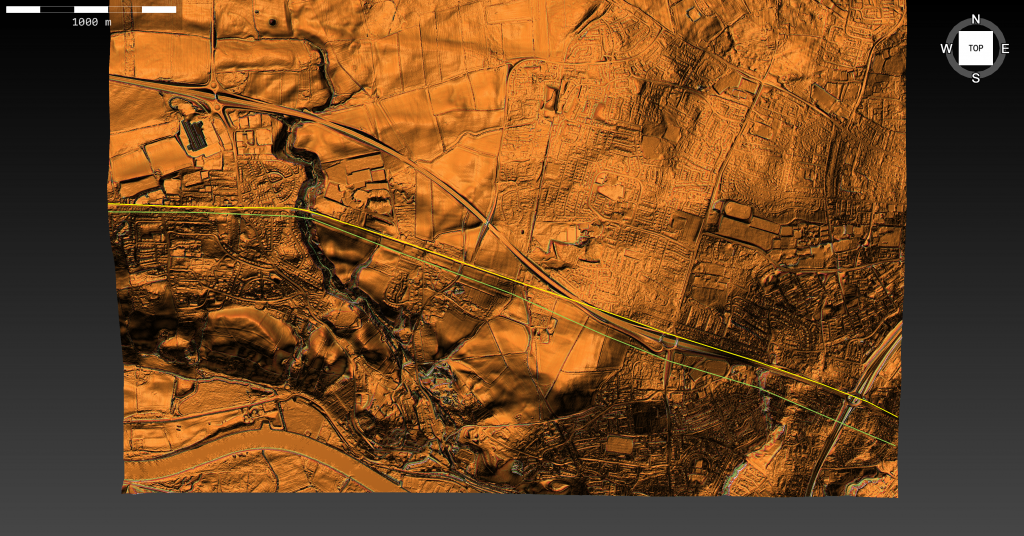
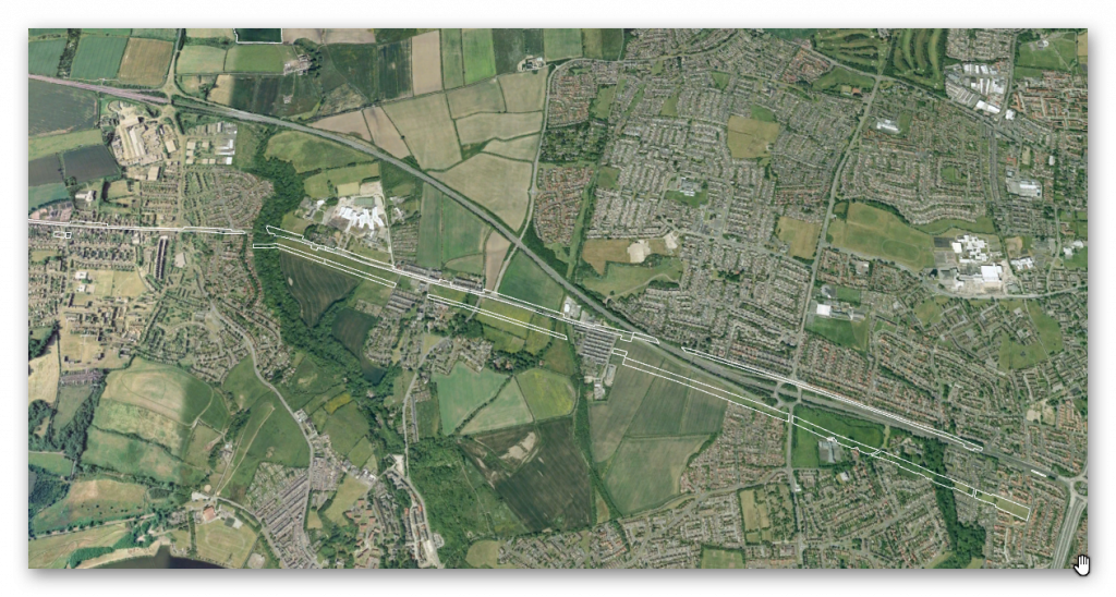
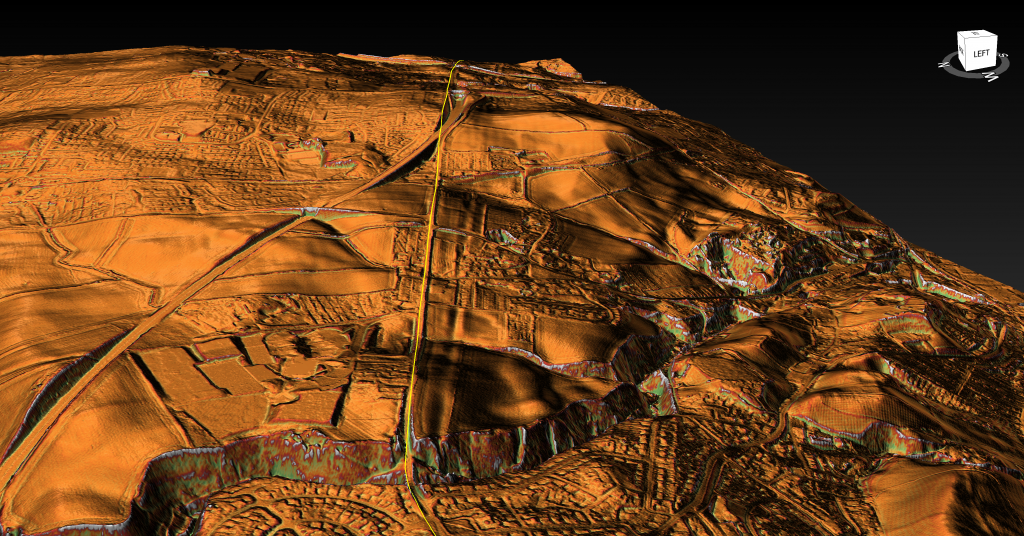
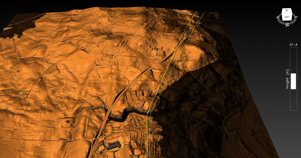
Section T – NZ16NE – this is a section of Hadrian’s Wall showing the LiDAR, Google Earth and 1800 Maps of the Area covered by Historic England
Historic England Sections:
Name: Name: Hadrian’s Wall and vallum in wall mile 7, Denton section of Hadrian’s Wall, Denton Turret and East Town House, Heddon-on-the-Wall in wall mile 11
List UID: 1010616, 1003796, 1003790, 1003789, 1003503
Old OS Map
LiDAR Map
Google Earth Map
Historic England Scheduled Monuments within Section T
Name: Hadrian’s Wall and vallum from Throckley to East Town House, Heddon-on-the-Wall in wall mile 11
Designation Type: Scheduling
Grade: Not Applicable to this List Entry
List UID: 1010616
Name: Hadrian’s Wall and vallum in wall mile 10 from Dene House to Throckley Bank Top
Designation Type: Scheduling
Grade: Not Applicable to this List Entry
List UID: 1003796
Name: Hadrian’s Wall and vallum in wall mile 9, Blucher to Dene House
Designation Type: Scheduling
Grade: Not Applicable to this List Entry
List UID: 1003790
Name: Hadrian’s Wall and vallum in wall mile 8 from Denton to Blucher
Designation Type: Scheduling
Grade: Not Applicable to this List Entry
List UID: 1003789
Name: Hadrian’s Wall and vallum in wall mile 7, Denton section of Hadrian’s Wall, Denton Turret and Hadrian’s Wall at West Denton
Designation Type: Scheduling
Grade: Not Applicable to this List Entry
List UID: 1003503
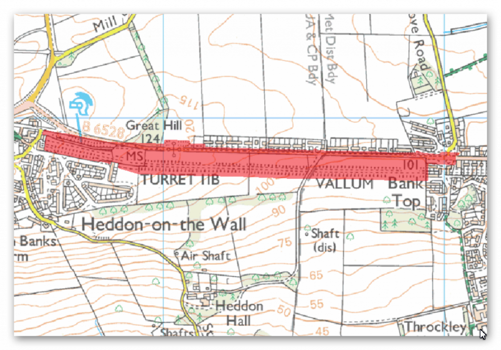
The monument includes a section of Hadrian’s Wall, its outer ditch and the vallum between Throckley and East Town House, Heddon-on-the-Wall. From various places in this section of the Wall corridor there are wide views northwards towards the Scottish Border and south west along Tynedale to the North Pennines.
At the east end of this section, the Wall survives as a buried feature below the course of the modern road, the B6528. Its line was recorded during roadworks in November 1926 and it was found to be of broad wall type. In the west end of this section there is a 255m stretch of upstanding consolidated wall between 2.8m and 3m in width, reaching a maximum height of 1.7m. The core was originally set in puddled clay, but is now reset in mortar to preserve the work. The upstanding section of the Wall is in the care of the Secretary of State. Turret 11b was located by excavation in 1919. It survives as a buried feature below the B6528. The location of Turret 11a has not yet been confirmed though it probably lies along the line of the wall somewhere opposite the Royal French Arms public house. During 1879 a hoard of over 5000 silver Roman coins was found just to the south of the Wall below the main road somewhere to the east of this turret site. The wall ditch is thought to survive as a buried feature underlying the gardens of the houses to the north of the Hexham Road (B6528), which are not included in the scheduling. However, west of the houses the ditch survives as an earthwork with a maximum depth of 1.9m and there is some rubble strewn over its scarps. In the west end of this section, opposite the consolidated stretch of wall, is a section of ditch, also in the care of the Secretary of State, which reaches a maximum depth of 1.4m.
The vallum survives as an earthwork in the field south of the B6528. It lies about 50m south of the wall line along this stretch of the corridor. In the east end of this section the vallum mounds have been reduced by ploughing, although the vallum ditch is still visible, reaching a depth of up to 1m. It is most evident in the east end in the small stand of trees at the entrance of the drive to Heddon Hall. On the summit of Great Hill, however, the works of the vallum are very well marked. The ditch is cut through the freestone rock and the south scarp shows Roman tool marks.
The course of the Roman road known as the Military Way, which ran along the corridor between the Wall and the vallum linking the turrets, milecastles and forts, is not yet confirmed in this section of the corridor.
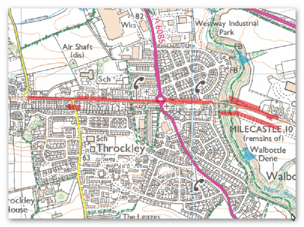
There is no HE entry for this section.
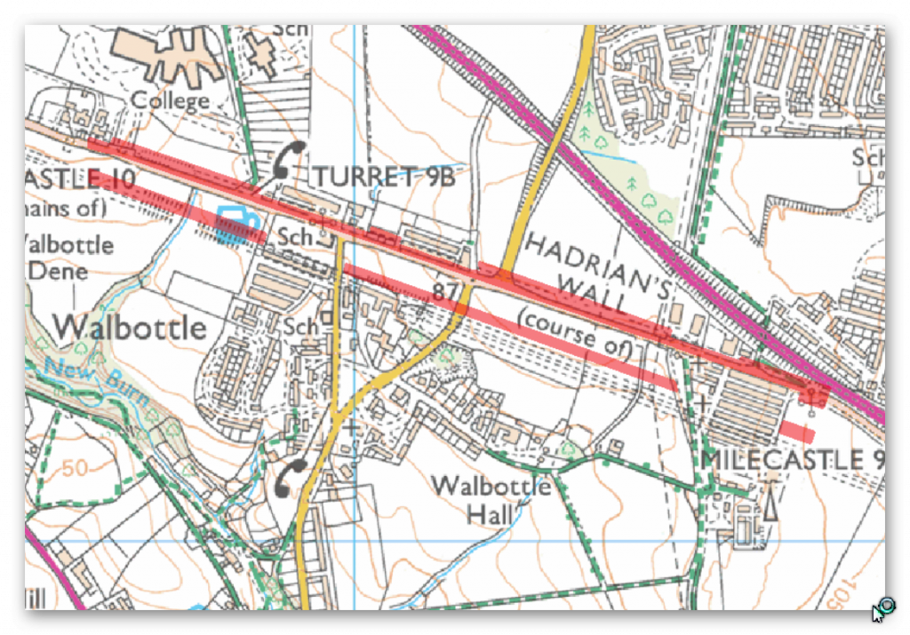
There is no HE entry for this section.
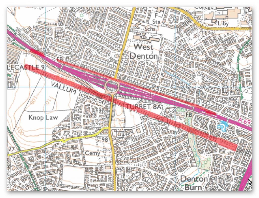
There is no HE entry for this section.
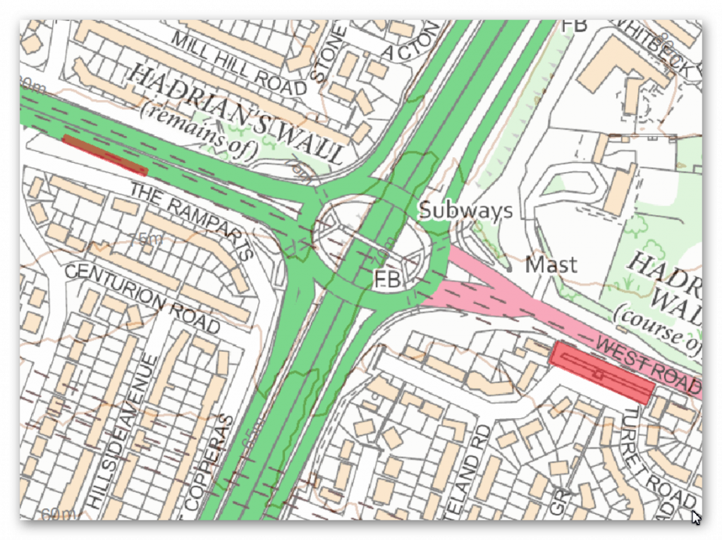
There is no HE entry for this section.
Investigation
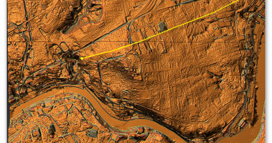
The Vallum is very shallow in this area – but it does again seem to start at the Walbottle Dene and heads (rather than avoids) Denton Dene – which the wall avoids.
Further Reading
For information about British Prehistory, visit www.prehistoric-britain.co.uk for the most extensive archaeology blogs and investigations collection, including modern LiDAR reports. This site also includes extracts and articles from the Robert John Langdon Trilogy about Britain in the Prehistoric period, including titles such as The Stonehenge Enigma, Dawn of the Lost Civilisation and the ultimate proof of Post Glacial Flooding and the landscape we see today.
Robert John Langdon has also created a YouTube web channel with over 100 investigations and video documentaries to support his classic trilogy (Prehistoric Britain). He has also released a collection of strange coincidences that he calls ‘13 Things that Don’t Make Sense in History’ and his recent discovery of a lost Stone Avenue at Avebury in Wiltshire called ‘Silbury Avenue – the Lost Stone Avenue’.
Langdon has also produced a series of ‘shorts’, which are extracts from his main body of books:
For active discussions on the findings of the TRILOGY and recent LiDAR investigations that are published on our WEBSITE, you can join us and leave a message or join the debate on our Facebook Group.

