Hollingsbury Camp Brighton
Accoding to Wikipedia (Hollingsbury Camp)
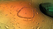
There is a single bank and ditch, in roughly the shape of a square with rounded corners, enclosing an area of about 9 acres (3.6 ha). There are original entrances on the east and west sides, the western entrance being inturned on both sides.[2] The pottery found during excavations dates from about 450–250 BC.[3]

The enclosure contains three Bronze Age bowl barrows, aligned roughly north-south near the centre.
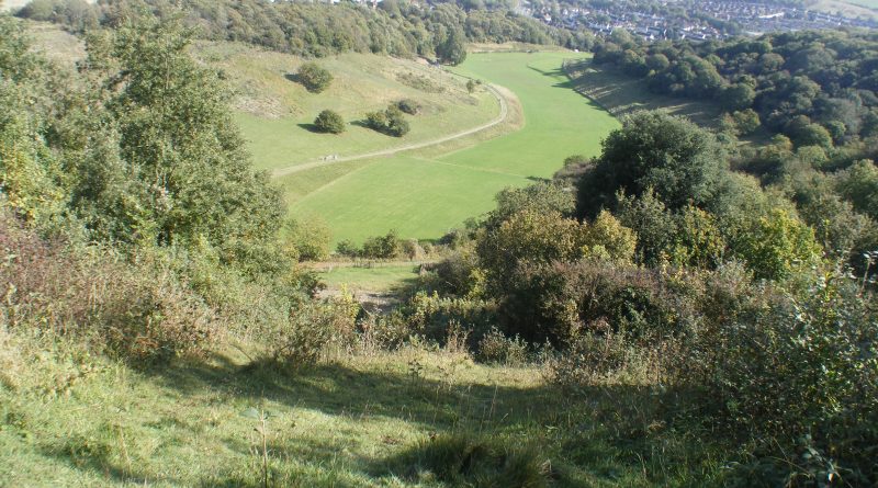
This site, as we observe, possesses a most remarkable natural harbour—a feature that undoubtedly beckoned the ancient architects to establish their encampment in close proximity. The harbor, equipped with its inherent protective walls, would have served as a secure refuge for the myriad vessels arriving from the English Channel, all seeking to engage in the noble pursuit of trade.
Observe the numerous pits and quarries that grace the periphery of this site. They speak loudly of the valuable minerals that were undoubtedly exchanged within this thriving hub of commerce. However, I must draw your attention to an intriguing anomaly. During the epoch of post-glacial flooding, a period marked by the elevated waters of our rivers, the conventional dating attributed to this site may falter in its accuracy. Indeed, it is our contention that the construction of this establishment likely transpired during the Late Mesolithic or Early Neolithic era, some six millennia in the past.

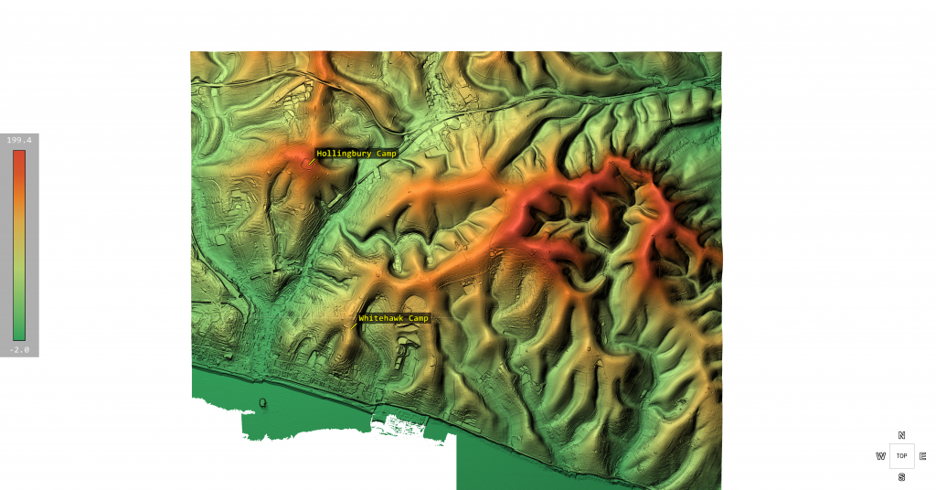
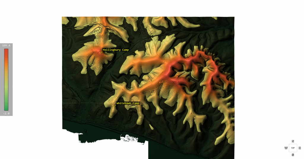
The above LiDAR map of Brighton Shows that it surrounded by hills scolptured by the waters of post-glacial britain.


